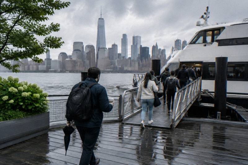
History Of The Hudson River And New York Harbor
The Hudson River shaped New York before a single skyscraper stood on Manhattan, and the harbor still shows the layers: an early exploration route, a canal boom, a bridge whose main span has held since 1883 and a waterfront reinvented as parkland. Here is the history, the landmarks and the cruises that pass them.
Short answer
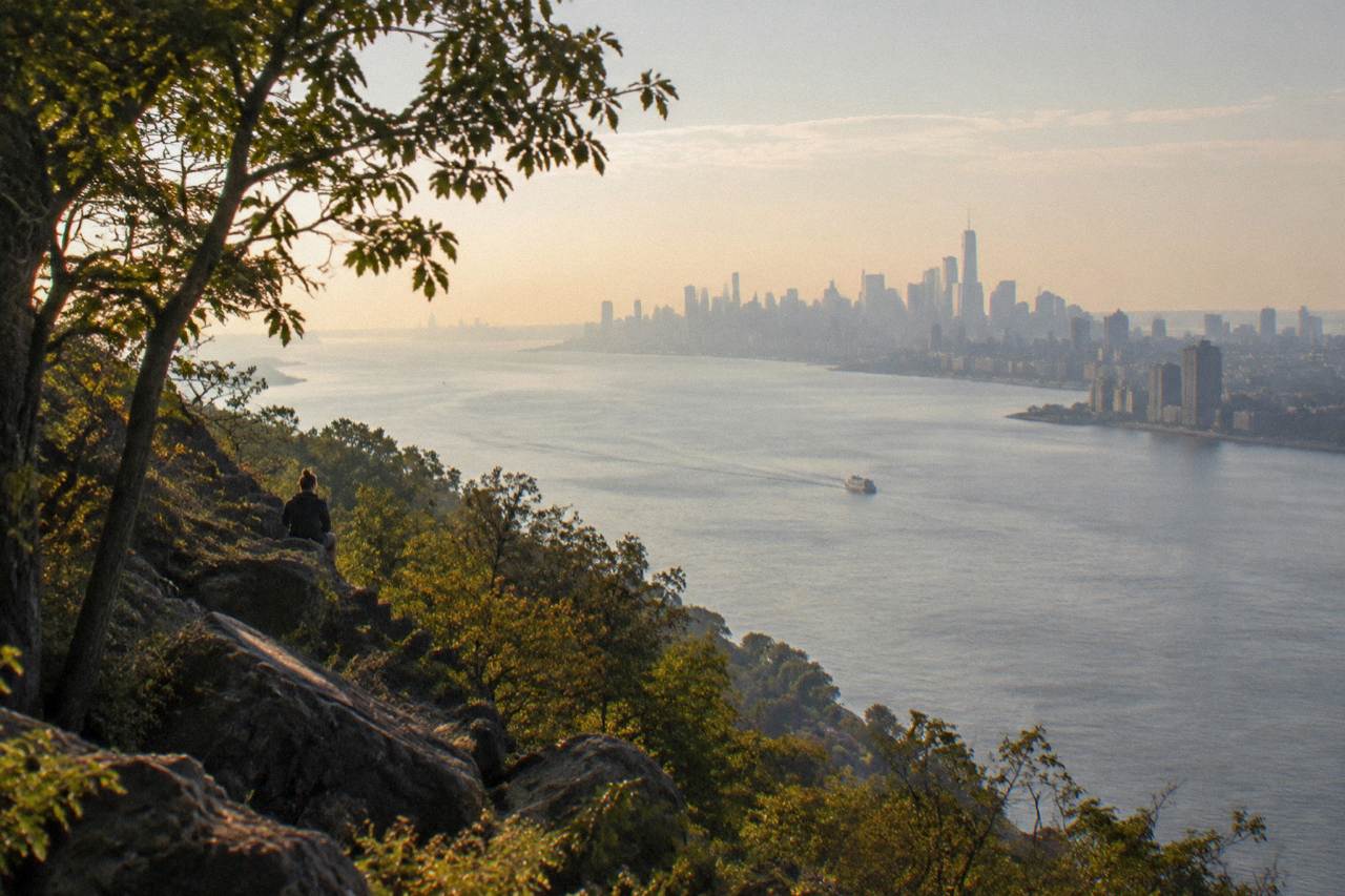
The Hudson River takes its name from Henry Hudson, who explored it for the Dutch East India Company aboard the Half Moon. The river runs 315 miles from the Adirondacks to the Battery, and its estuary stretches 153 miles from Troy to New York Harbor. Cruises from $25 to $110.92 pass the Statue, the Palisades and the skyline.
The Hudson River was a working highway long before it was a photo opportunity. Henry Hudson came up the water more than four centuries ago looking for a passage to Asia and found instead the tidal arm that would carry furs, farm goods, coal and commuters for the next four hundred years. The harbor he sailed into is now ringed by landmarks, from a statue that rises 305 feet 1 inch from the ground to the torch to a bridge whose main span has stretched 1,595.5 feet over the East River since 1883.
This page walks through the river's story in order: the name, the growth it powered, the landmarks lined up along the banks, the Highlands to the north, and the waterfront's latest reinvention. It ends with the practical question, which of today's cruises actually pass these places, with prices and durations from the current listings.
How Did The Hudson River Get Its Name?
The river is named for Henry Hudson, an English navigator sailing for the Dutch East India Company, who explored the water aboard the ship Halve Maen, or Half Moon. He was searching for a northwest route to Asia, found the tidal river instead, and his sponsors' name stuck to the map long after the man himself never returned from a later voyage.
The naming is a small lesson in how history settles. Hudson was not the first European in the harbor, and the river had been used by Indigenous peoples for thousands of years before any sail appeared. But the Dutch, who built a trading post at the river's mouth, kept his name on their charts, and when the English took New Amsterdam the name survived the change of flag. The Mahican and Lenape communities along the banks knew the water by their own names, and the tidal estuary they fished is the same water that Circle Line and Classic Harbor Line vessels cruise today.
What Hudson did find was remarkable: a river that behaves like an arm of the sea. The Hudson estuary stretches 153 miles from Troy to New York Harbor, nearly half the river's 315 mile course between Lake Tear of the Clouds in the Adirondacks and the Battery, and the ocean's tidal pulse reaches all the way to Troy, according to the New York State Department of Environmental Conservation. Salt and fresh water mix in the same channel, which is why the river has supported both ocean-going ships and inland trade. That tidal reach is also why the modern sightseeing fleet can sail so far upstream and still ride a current.
The name on the map matters for another reason. The Hudson River Boat Tours site covers the cruises that follow this exact water, and the river's dual identity, half sea, half river, explains most of what a passenger sees from the deck: ocean-sized vessels in a valley narrow enough to frame the Palisades on one side and the skyline on the other.
What Role Did The River Play In New York's Growth?
The Hudson turned New York into the trading capital of the country. The river connected the harbor to the farmland of the interior, and after the Erie Canal opened, goods could move from the Great Lakes to Manhattan by water almost the entire way, making the city the gateway through which a continent's commerce passed.
Before railroads, before highways, the river was the road. Albany sat at the head of navigable water, and the 150-mile stretch between Albany and the harbor became the busiest commercial corridor in the young republic. Steamboats appeared within a few years of their invention, and the route Hudson had explored became a scheduled passenger service. The Erie Canal linked the Hudson to Buffalo and the Great Lakes, and the effect on the city was immediate: grain, timber and manufactured goods funneled through New York Harbor, and the banks of the East River filled with the piers that handled them.
The harbor's own role was just as decisive. New York Harbor is one of the largest natural harbors in the world, deep and sheltered, and it iced over less than rival ports. Immigration followed trade. Millions of arrivals were processed on islands inside the harbor itself, and the Statue of Liberty stood at the harbor's mouth as the first thing many of them saw. The Brooklyn Bridge, completed in 1883 with a main span of 1,595.5 feet and a clearance of 135 feet at center, tied the growing city together across the East River while the Hudson side stayed a wall of working piers.
The commuter story came later and is easy to see from the water today. Ferries crossed the Hudson for more than a century, the Staten Island Ferry has run since 1905 and now carries over 16 million passengers a year, and the Hudson River Park piers that host today's cruise departures are mostly converted remnants of the freight era. Pier 40, the largest pier along the Hudson at more than 15 acres, was built in 1962 for the Holland America Cruise Line, a passenger line, not a cargo one, a sign of how the river's business had shifted by late in the shipping age.
For a sense of how that history reads from the deck, three cruises cover three different eras: a tall ship in the harbor, a landmarks cruise along the Manhattan shoreline, and a classic narrated sail upriver from Kingston.
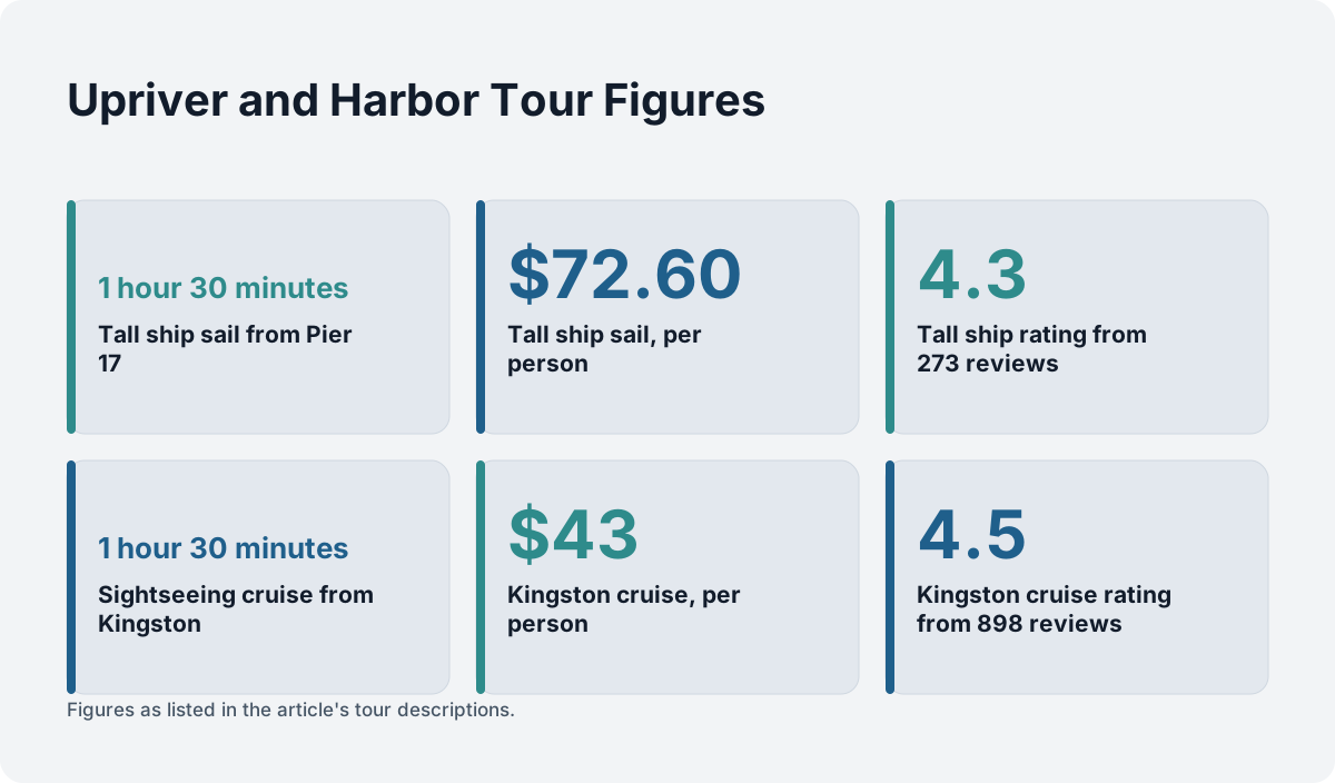
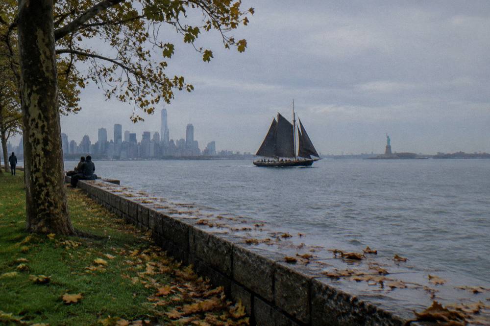
The tall ship option deserves a note here because it is the closest thing to sailing the harbor the way the earliest European navigators did. The Tall Ship Clipper City Sail runs 1 hour 30 minutes from Pier 17 at the South Street Seaport, from $72.60 per person, rated 4.3 from 273 reviews, and passes the Statue under canvas. The Seaport itself is part of the story: it was the city's original working port, and the tall ships that dock there now are a deliberate echo of what the harbor looked like when sails did the work.
What Landmarks Line The River?
The Hudson shoreline stacks generations of landmarks into a few miles: the Statue of Liberty at the harbor mouth, the Brooklyn Bridge across the East River, the converted piers of Hudson River Park from Chambers Street to Midtown, and the Palisades rising on the New Jersey side, with each sight visible from a different stretch of the standard cruise routes.
Start at the harbor mouth, because every cruise does. The Statue of Liberty measures 151 feet 1 inch from the top of the base to the torch and 305 feet 1 inch from the ground to the torch tip, figures the National Park Service keeps on its statistics page. Every harbor sightseeing cruise in the roster sails past the Statue, and none of the listings lands on Liberty Island: per the National Park Service, Statue City Cruises is the only ferry service authorized to land at Liberty and Ellis Islands, and private vessels may not dock at either. A sightseeing cruise gives you the water-level view; a landing ticket, bought from the authorized operator, gives you the island.
Moving up the Manhattan side, the Hudson River Park piers carry the modern layer of history. The park's own pier directory lists Piers 25, 26, 40, 45, 51, 62 and others, plus Little Island at West 13th Street, and several of these are now cruise departure points. Classic Harbor Line boards at Pier 62 in Chelsea Piers, which began life as a luxury liner terminal serving the great transatlantic routes. Starship Tours departs from Pier 78, and NY Waterway's Midtown terminal sits at West 39th Street, both of them on the same stretch of waterfront that once handled the river's freight.
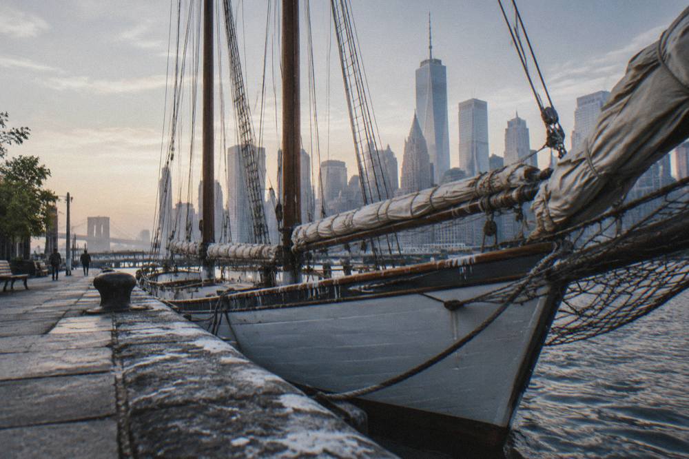
The table below matches the major landmarks to what a cruise passenger actually sees and which departure point serves them best.
| Landmark | What You See From The Water | Best Served By |
|---|---|---|
| Statue of Liberty | Full silhouette from harbor level, a few hundred feet off the cruise track | Pier 16 and Pier 83 departures, and most harbor sails |
| Brooklyn Bridge | Main span of 1,595.5 feet and 135 feet of clearance, from East River routes | Lower Manhattan and Seaport departures |
| Hudson River Park piers | Converted freight piers, Little Island, Chelsea Piers marina | Chelsea Piers and Midtown departures |
| The Palisades | Sheer rock cliffs on the New Jersey shore north of the bridge | Upriver and foliage cruises |
| Skyline from Midtown | Empire State Building, One World Trade Center and Hudson Yards in one frame | Midtown and Chelsea departures |
If the harbor's story is what pulls you, the tall ship sail is the one that puts you inside it rather than looking at it, and the listing carries free cancellation if the weather turns.
The Brooklyn Bridge deserves its own sentence even on a Hudson page, because the harbor routes from lower Manhattan pass close enough to read its history. The city's own transportation page records the main span, the clearance and the 1883 completion date, and the bridge's towers were the tallest structures in the Western Hemisphere when they went up. Sightseeing vessels from the Seaport give the best angle on it, and the free Staten Island Ferry, which the city describes as running every day of the week year-round, crosses the harbor's lower reach nearby. For more on all the departure points, see the guide to NYC boat tour piers and boarding points.
What Is The Highlands Section?
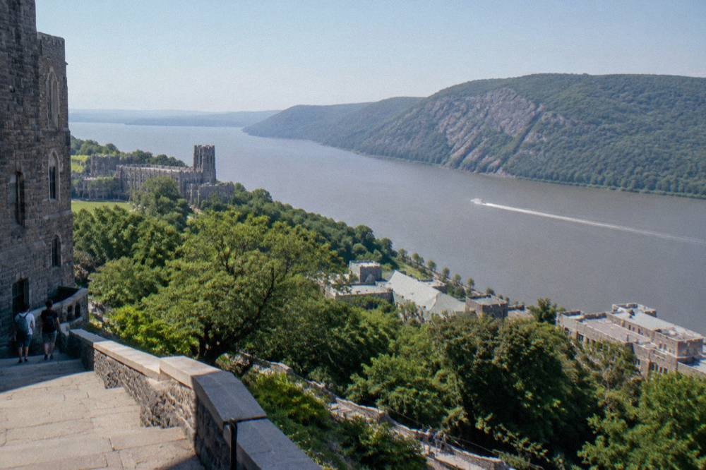
The Highlands are the mountainous stretch of the Hudson roughly 50 miles north of Manhattan, where the river cuts through a chain of rocky hills and the shoreline turns from city concrete to forested cliff. It is the landscape that made the river famous with painters, and today it is the territory of the upstate cruises, not the harbor fleet.
The Hudson Highlands sit astride the river in Putnam and Orange counties, and the channel narrows between peaks such as Breakneck Ridge and Storm King. This is the scenery the Hudson River School painters made iconic, and it is the reason the river upstream of the city feels like a different waterway. Bear Mountain, which the Circle Line full-day cruise reaches on a 50 mile run north with about 2.5 hours ashore, sits at the southern edge of this section. West Point occupies the west bank at its heart, and Bannerman Island's ruined arsenal sits in the channel near Cold Spring.
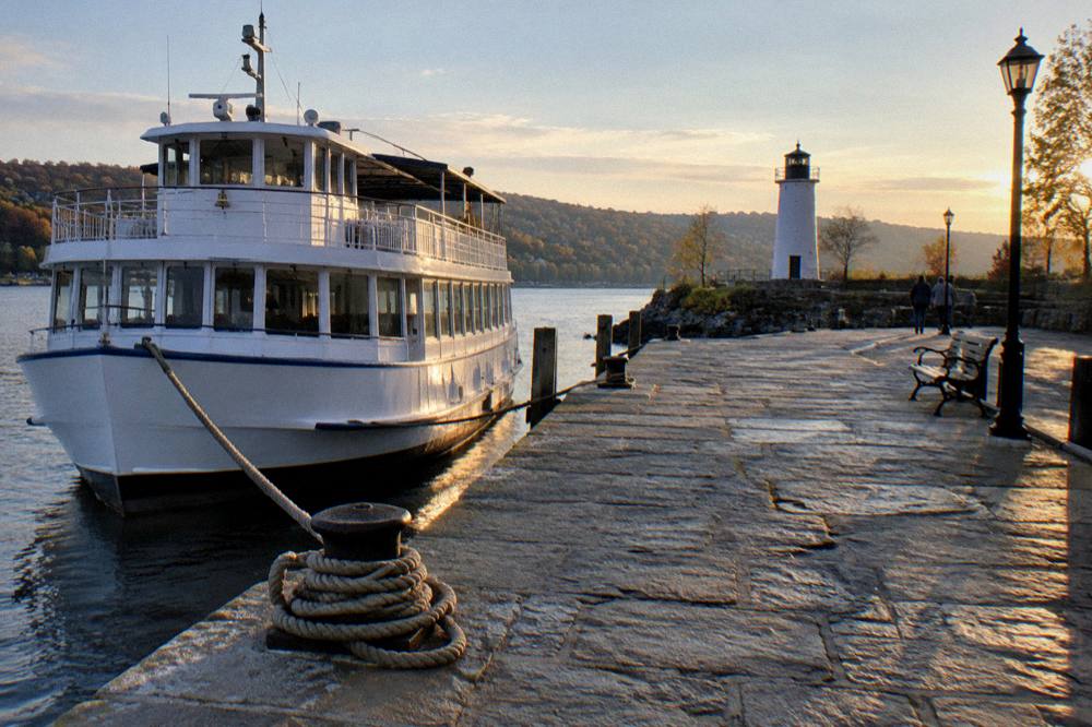
A practical honesty note matters here. The bookable cruises on this site that actually reach this territory are the two upriver listings: the Sightseeing Cruise from Kingston, 1 hour 30 minutes from Rondout Landing, from $43 per person, rated 4.5 from 898 reviews, and the Sightseeing Cruise from Albany, also 1 hour 30 minutes, from $39.99 per person, rated 4.8 from 608 reviews. The Kingston operator, Hudson River Cruises, has run the vessel Rip Van Winkle II from Rondout Landing for over 35 years, sailing past the Rondout Lighthouse and the Esopus Meadows Lighthouse, both of them working relics of the river's navigation era.
The Albany cruise covers a different chapter. Dutch Apple Cruises boards at Broadway and Quay Street beside the USS Slater, a restored World War II destroyer escort that is itself a floating piece of harbor history, and the route runs through the stretch where the tidal estuary ends at Troy. That tidal limit is the reason Albany existed as a port at all: it was the head of deep water, the transfer point between river craft and the canal system, and the city's waterfront still shows the shape of that role.
For readers wondering whether the water itself can be traveled end to end, the answer and the history of upstream navigation are covered in the piece on taking a boat all the way up the Hudson River. The short version is that the river is navigable the whole way to Troy, but no single bookable tour covers the full 153 mile estuary; the upstate cruises work in local sections.
How Has The Waterfront Changed?
The Manhattan waterfront has flipped from industrial to recreational in two generations. Piers built for freight and ocean liners now host sailing schools, yacht charters and sightseeing departures, and the Hudson River Park system, running along the west side from the Battery to Midtown, has turned the old working edge of the city into a public promenade with the cruise fleet moored to it.
The change is visible in the departure points themselves. Chelsea Piers, where Classic Harbor Line boards at Pier 62 and City Cruises at Pier 61, was a terminal complex built for the great transatlantic liners; the piers that once processed arriving immigrants' baggage now process sunset cruise passengers with a drink in hand. Pier 40 at Houston Street, the largest pier on the river at more than 15 acres and built in 1962 for the Holland America Cruise Line, now anchors parkland and sports fields. Little Island, a landscaped park on reconstructed piles at West 13th Street, sits on the footprint of a former Hudson River Park pier. Everything else covered here is indexed on Hudson River Boat Tours.
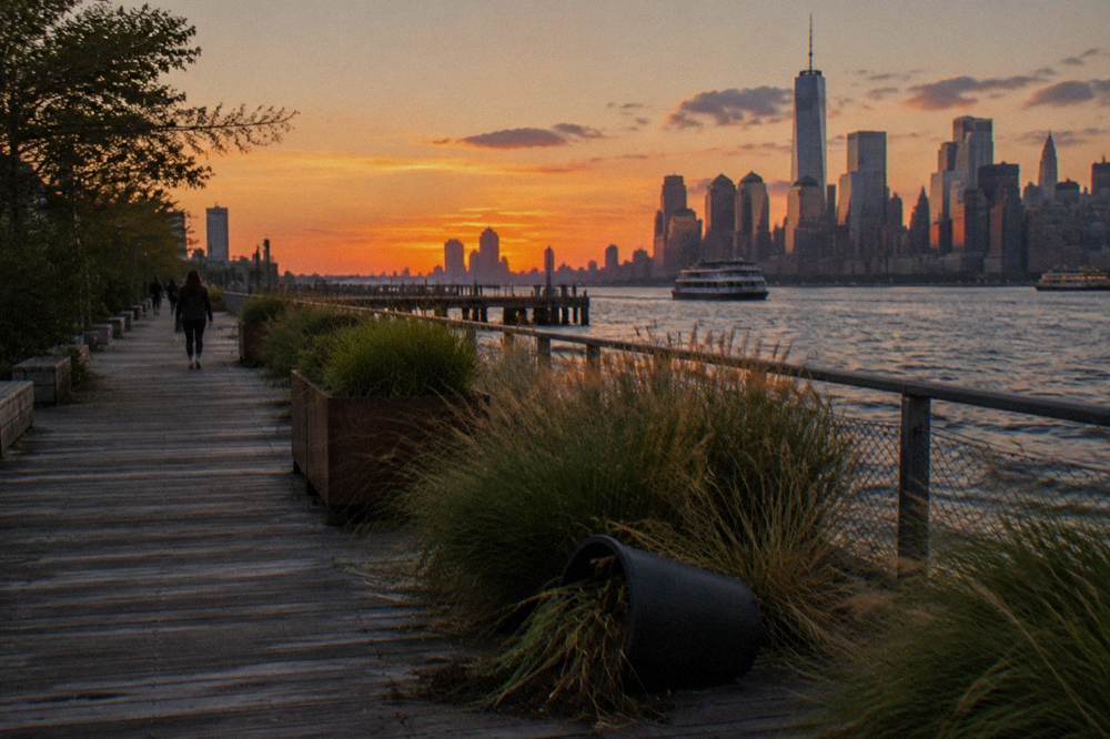
The Hudson River Park trust's own pier directory documents the shift pier by pier, and the pattern holds along almost the whole west side. The table below pairs the historical role of the main cruise departure points with what they host now.
| Departure Point | Historical Role | Current Role |
|---|---|---|
| Pier 62, Chelsea Piers | Transatlantic liner terminal complex | Classic Harbor Line yachts and schooners |
| Pier 61, Chelsea Piers | Liner and freight berths | City Cruises dining cruises |
| Pier 83, West 42nd St | Midtown freight and passenger berths | Circle Line sightseeing fleet |
| Pier 17, South Street Seaport | The city's original working port | Seaport museum, shops, Clipper City tall ship |
| Pier 25, Tribeca | Hudson River Park recreation pier | NYCbySEA private charters |
| Rondout Landing, Kingston | Delaware and Hudson Canal terminus | Hudson River Cruises' Rip Van Winkle II |
The Staten Island Ferry is the one survivor of the old commuter era still running in its original form. The city describes it as a free service between Staten Island and Lower Manhattan every day of the week, year-round, operated since 1905 and carrying over 16 million passengers annually. It never lands at the Statue, but it crosses the same harbor Hudson entered, and it costs nothing, a point worth remembering when comparing it to paid cruises, a comparison the page on free things to do along the Hudson River waterfront works through in full.
The newest layer is still being written. The Trust for Governors Island launched the Harbor Charger, reported as the first hybrid-electric public ferry in New York State, and NYC Ferry continues to expand its networked routes across the harbor, both of them signals that the water itself, not just its banks, is back in daily use.
What Do The River's Numbers Tell You?
The Hudson's key statistics explain why it was worth fighting over, painting and industrializing: 315 miles of total course from Lake Tear of the Clouds to the Battery, 153 miles of tidal estuary from Troy to the harbor, and a harbor mouth guarded by a statue standing 305 feet 1 inch from the ground to the torch tip. Read together, the numbers describe a river that is half mountain stream and half sea.
The figures come from primary sources and they are worth seeing in one place, because they shape every cruise route on this site. The Department of Environmental Conservation's estuary page is the authority on the 153 mile tidal reach, and the National Park Service holds the Statue's dimensions. The Brooklyn Bridge numbers, 1,595.5 feet of main span and 135 feet of clearance at center, come from the city's own bridge page.
| Figure | Value | What It Explains |
|---|---|---|
| Total river course | 315 miles | Lake Tear of the Clouds to the Battery |
| Tidal estuary | 153 miles, Troy to the harbor | Why ocean ships sail so far inland |
| Statue, base to torch | 151 feet 1 inch | The figure visible above the pedestal |
| Statue, ground to torch tip | 305 feet 1 inch | The full height from the island |
| Brooklyn Bridge main span | 1,595.5 feet | The 1883 crossing that unified the city |
| Staten Island Ferry ridership | Over 16 million a year | The commuter river, still free since 1905 |
The tidal number is the one most people miss. Because the estuary reaches to Troy, the river's current reverses twice a day for its entire lower half, which is why upstate cruise operators time departures around the tide and why the harbor fleet can ride a push upstream without leaving sheltered water. The Hudson is an arm of the Atlantic for 153 miles, and every cruise on this site, from the 50 minute Statue express to the 2 hour 30 minute full island loop, is sailing on sea water held inside a river valley.
Which Cruises Pass These Sights?
The harbor fleet splits the history by route: Statue cruises from $25 to $72.60 cover the harbor mouth, landmarks cruises from $34 trace the Manhattan shoreline, tall ships from $60.08 sail the same water under canvas, and the two upstate cruises from $39.99 to $43 reach the lighthouses and the Highlands. Duration, not price, is the main variable, from 50 minutes to 2 hours 30 minutes.
Matching a cruise to the history you want to see is mostly matching a route to an era. The Statue and skyline cruises deliver the immigration-era harbor, the tall ships deliver the sail age, the landmarks cruises deliver the industrial waterfront's reinvention, and the upstate cruises deliver the painted river of the Highlands.
| Cruise | Duration | From | Rating | History It Passes |
|---|---|---|---|---|
| Tall Ship Clipper City Sail | 1 hour 30 minutes | $72.60 per person | 4.3 from 273 reviews | The sail age and the original Seaport |
| 1.5-Hour Circle Line Landmarks | 1 hour 30 minutes | $34 per person | 4.5 from 1,145 reviews | The converted Hudson River Park piers |
| Sightseeing Cruise from Kingston | 1 hour 30 minutes | $43 per person | 4.5 from 898 reviews | The canal era and two lighthouses |
| Sightseeing Cruise from Albany | 1 hour 30 minutes | $39.99 per person | 4.8 from 608 reviews | The head of the tidal estuary |
| Circle Line Ultimate Sightseeing Loop | 2 hours 30 minutes | $39 per person | 4.6 from 7,921 reviews | The full island, all eras |
| 50-Minute Statue Express | 50 minutes | $29 per person | 4.6 from 5,835 reviews | The harbor mouth and the Statue |
The schooner routes deserve the history-minded reader's attention. Classic Harbor Line's Statue day sail on the schooner Adirondack, 1 hour 45 minutes from Pier 62 from $60.08 per person, rated 4.9 from 209 reviews, and the Sunset Sail, Schooner Adirondack, 2 hours from the same pier from $90.12 per person, rated 4.9 from 309 reviews, both pass the Statue and the harbor's lower reach with the same rig type that worked this water before engines. The sunset departure adds the skyline at golden hour, though the sunset itself, like the weather, is never promised.
For the full sweep in one sitting, the Circle Line Ultimate Sightseeing Loop is the only mainstream option that circles the whole island, 2 hours 30 minutes from Pier 83 from $39 per person, rated 4.6 from 7,921 reviews, passing the Statue, three boroughs' shorelines and the full Hudson side of Manhattan in a single loop. It is the closest thing to a moving history lesson the harbor offers, with narration keyed to the sights as they slide past. The comparison of all the harbor options, including which routes suit which travelers, is worked through in NYC boat tours compared.
Where Should You Board To See The Most History?
Board at the South Street Seaport for the oldest layer of the harbor, at Chelsea Piers for the liner age and the schooner fleet, at Midtown for the full island loop, or at Kingston for the canal era and the Highlands. Each pier is itself a historical site, so the choice of departure point is the first piece of the story you step into.
Pier 17 at the Seaport puts you inside the city's original port district, with the tall ship Clipper City moored among restored historic buildings. Chelsea Piers, Pier 61 and Pier 62, is the liner terminal turned cruise marina, the single best place to see the waterfront's before and after in one glance. The Midtown piers, Pier 78 for Starship and the West 39th Street terminal for NY Waterway's quick Statue cruise, sit on the freight-era edge now lined with parkland. Kingston's Rondout Landing is the furthest trip and the deepest history: a working historic dock on the Delaware and Hudson Canal's old terminus, with a 35-year-old cruise operation and two lighthouses on the route.
Practically, most visitors should pick one downtown or Chelsea departure for the harbor story and, if time allows, one upstate departure for the river story. The harbor half can be done in 50 minutes with the Statue Express from $29 per person, or properly with the 2 hour 30 minute Ultimate Sightseeing Loop from $39. The upstate half is a day trip in itself, and the Kingston cruise from $43 is the more accessible of the two from New York City by rail. Schedules are seasonal on every route, so check the listing for current dates before locking in a plan.
However you board, the river rewards a little background. Knowing that the tidal pulse reaches to Troy, that the piers under your feet once loaded liners, and that the statue at the harbor mouth was the first thing millions of new arrivals saw, turns a sightseeing cruise into a passage through the record. The water is the same one Hudson sailed, and it still runs through the middle of everything the city became.
For the three routes that best combine the history with a good day out, these are the picks.
Common Questions About Hudson River History
How Did The Hudson River Get Its Name?
The river is named for Henry Hudson, the English navigator who explored it while sailing for the Dutch East India Company aboard the Half Moon. He was searching for a northwest passage to Asia. The Dutch kept his name on their charts of the river, and it survived the English takeover of New Amsterdam.
How Far Does The Hudson River's Tide Reach?
The Hudson estuary stretches 153 miles from Troy to New York Harbor, and the ocean's tidal pulse reaches all the way to Troy, according to the New York State Department of Environmental Conservation. The river's total course is 315 miles from Lake Tear of the Clouds in the Adirondacks to the Battery.
Do Any Cruises Land On Liberty Island?
No cruise in the current roster lands on Liberty Island. Per the National Park Service, Statue City Cruises is the only ferry service authorized to land at Liberty and Ellis Islands, and private vessels may not dock at either. Every cruise listed here sails past the Statue and returns; a landing ticket must be bought from the authorized operator.
What Is The Highlands Section Of The Hudson?
The Highlands are the mountainous stretch of the river roughly 50 miles north of Manhattan, where the channel narrows between peaks such as Breakneck Ridge and Storm King. The area inspired the Hudson River School painters and is reachable by the upstate cruises from Kingston and Albany rather than by the harbor fleet.
Which Pier Has The Most History?
Pier 17 at the South Street Seaport sits in the city's original working port district, and Chelsea Piers was built as a transatlantic liner terminal. Pier 40, the largest pier on the river at more than 15 acres, was built in 1962 for the Holland America Cruise Line, and Kingston's Rondout Landing sits on the old Delaware and Hudson Canal terminus.
How Old Is The Staten Island Ferry?
The Staten Island Ferry has operated since 1905, according to the city's transportation department, and it carries over 16 million passengers a year. It is a free service between Staten Island and Lower Manhattan every day of the week, year-round, and it crosses the same harbor Henry Hudson entered more than four centuries ago.